There's a specific kind of magic in Vermont. It's the smell of damp pine needles, the endless moss, and the way the fog sits in the valleys of the Green Mountains. Ask the hikers who've logged hundreds of miles on the Long Trail and the same day trips come up again and again — these are the ones worth planning a weekend around.
Easy Hikes (Good for the Soul)
Sterling Pond Trail
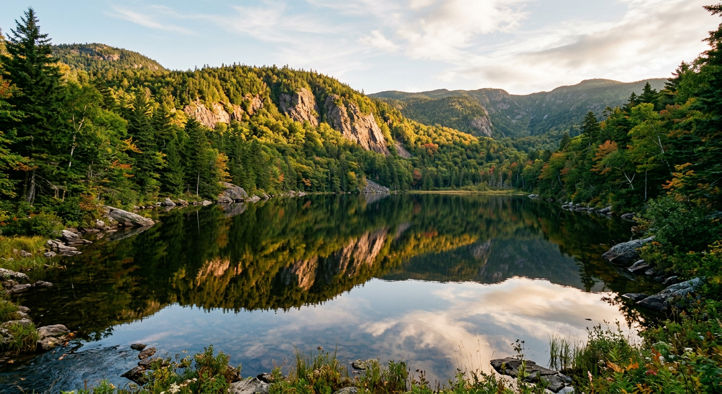
Distance: 2.4 miles | Elevation Gain: 1,000 ft This is a "bang for your buck" hike. It's a bit of a climb, but you end up at one of the highest ponds in the state. If you get there early enough, the water is like a mirror reflecting the surrounding cliffs. It's a great spot to just sit and breathe.
Thundering Falls Trail
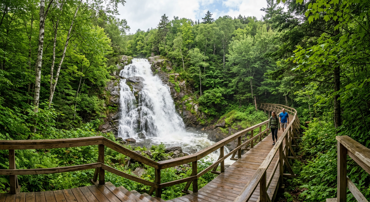
Distance: 0.5 miles | Elevation Gain: None This is a quick stop, but it's worth it. It's an accessible boardwalk that brings you right to a massive waterfall. It's a perfect "leg stretcher" if you're driving through the Killington area.
Moderate Hikes (Get the Heart Pumping)
Mount Pisgah
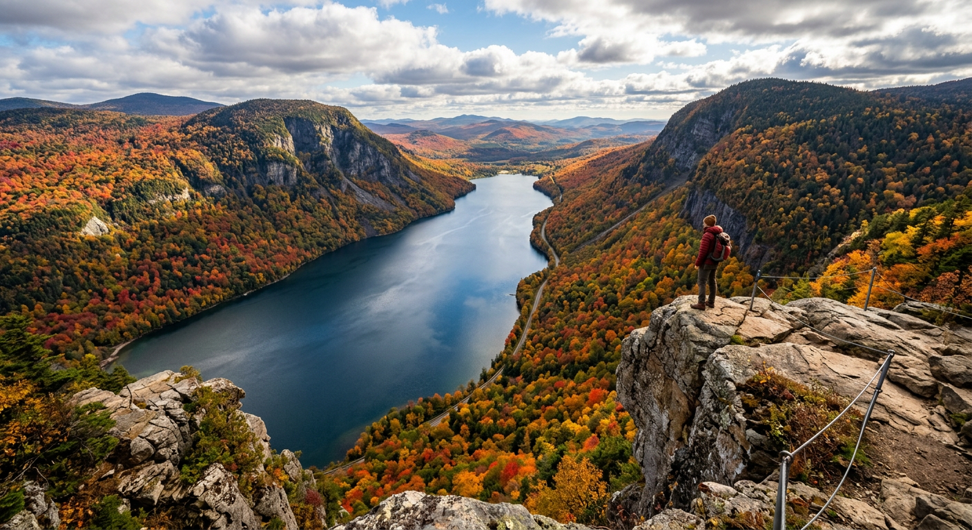
Distance: 5.4 miles | Elevation Gain: 1,650 ft The views here are iconic. You're looking straight down into Lake Willoughby, which looks more like a Norwegian fjord than a Vermont lake. The cliffs are sheer and dramatic—just keep a close eye on your dog or kids at the overlooks!
Stowe Pinnacle
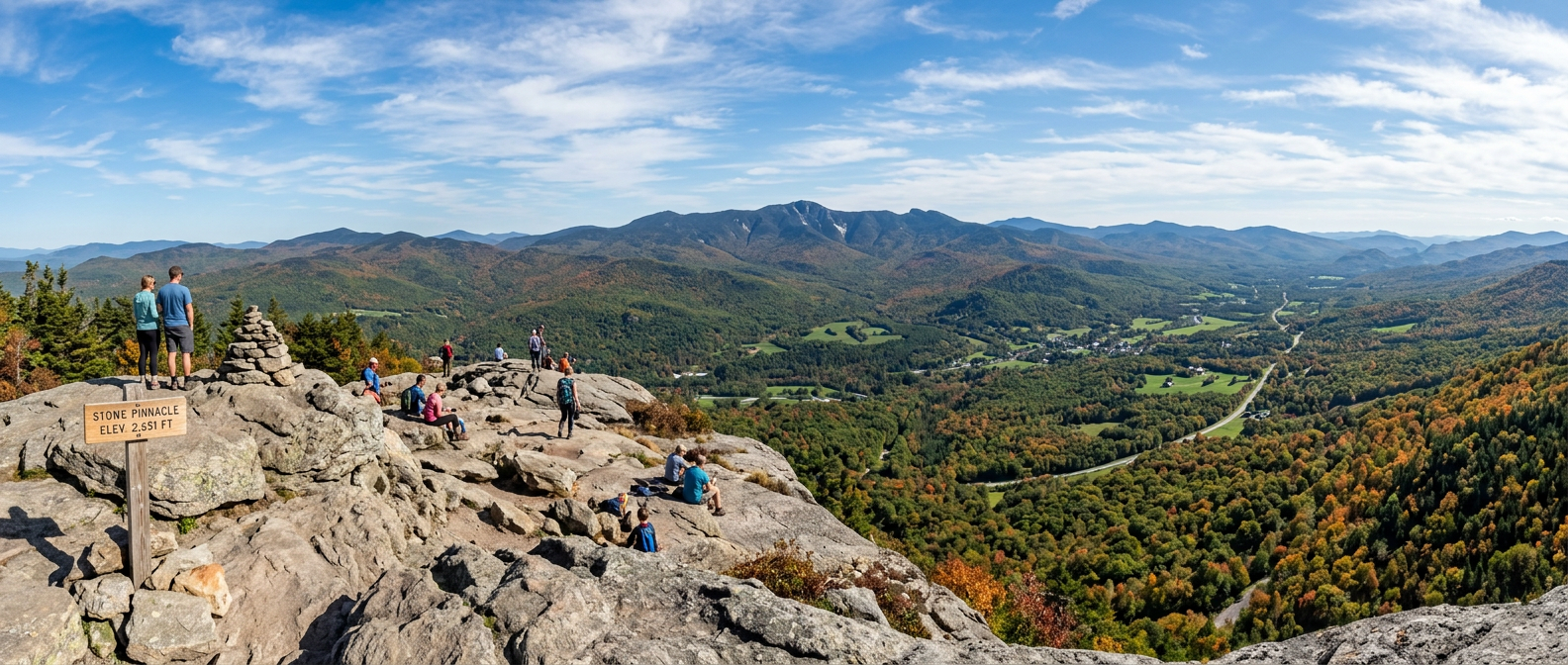
Distance: 3.8 miles | Elevation Gain: 1,520 ft Everyone in Stowe does this hike, and for good reason. It's a steady climb that opens up to a rocky summit with 360-degree views of Mount Mansfield. It's the perfect place for a summit sandwich.
Challenging Hikes (The "Leg Burners")
Mount Mansfield via Long Trail
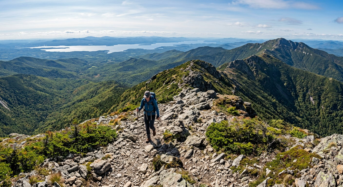
Distance: 8.6 miles | Elevation Gain: 3,200 ft The highest point in Vermont. Taking the Long Trail up from Underhill is a grind, but once you hit the "Chin" (the summit), you're in a rare alpine tundra environment. On a clear day, you can see all the way to Lake Champlain and the Adirondacks.
Camel's Hump
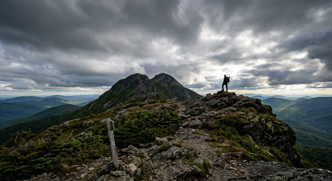
Distance: 7.4 miles | Elevation Gain: 2,600 ft This is the most recognizable mountain in Vermont because of its "hump" shape. It's a tough hike, but there's no cell tower or ski resort at the top—just raw, rugged beauty. The 360-degree view from the summit is, in our opinion, the best in the state.
What to Bring to the Greens
Vermont weather is notoriously moody. Even if it's 75 and sunny at the trailhead, it can be 50 and windy at the summit. - Traction: These trails are rooty and rocky. Wear boots with real grip. - Layers: Bring a light windbreaker or puffy, even in summer. - Water: 2 liters is our minimum for the bigger peaks. - Trekking Poles: Your knees will thank you on the way down those steep Vermont rock stairs.
Need to refresh your kit before you head to the mountains? Shop through our partner retailers and earn entries into our next gear giveaway. No purchase necessary — see the Official Rules for free entry details.